Auburn’s Ample Backyard: Auburn State Recreation Area
ASRA Trail Information and Maps
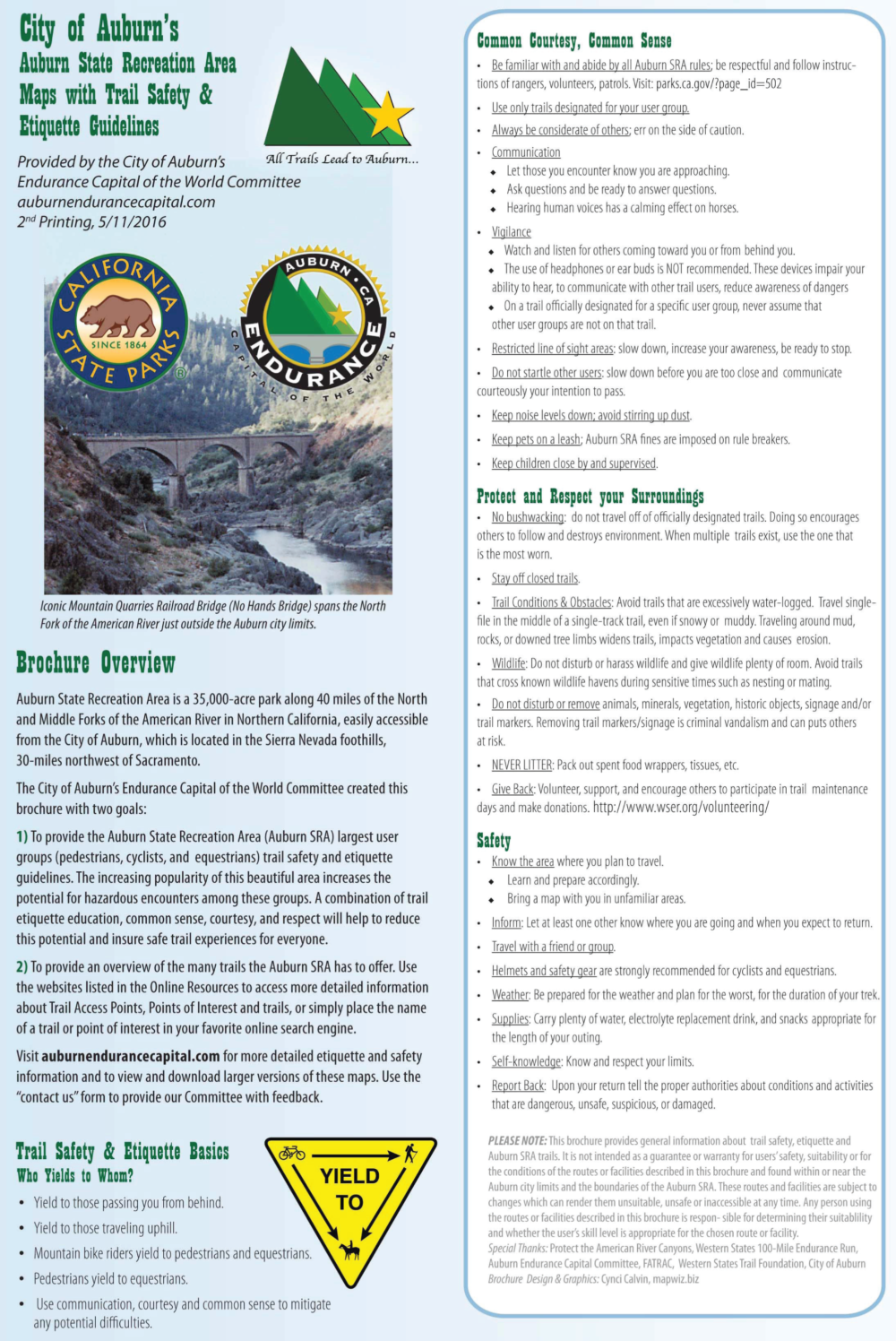
The Auburn State Recreation Area (Auburn SRA) includes 40 miles of the North and Middle Forks of the American River.
The park is situated south of Interstate 80, stretching from Auburn to Colfax. Access points are many. A few of the local ones include:
- Overlook Park
- At Gate #130 off of Hwy 49, about 1/2 mile from Downtown Auburn
- Off Hwy 49 at the Confluence
- Off Hwy 49 at the Cool Fire Station
- Foresthill Road 3.5 miles from the Foresthill Bridge
Once teeming with thousands of gold miners, the area is now a natural area offering a wide variety of recreation opportunities to over 900,000 visitors a year. To assist park visitors with the trails and with safety and etiquette information, the Endurance Capital Committee has provided hiker/runner, mountain bike rider and equestrian user groups a free, handy, pocket trail map, available at the Visitor’s Center, the ECC tent when we attend local Endurance events. More Info:
- Download enlarged sections of this map using the link to the right.
- Use the “Maps by User Group” link in the top Nav Bar to find specific user groups maps.
- In the section below are ASRA General Plan Updates.
- Below that are a sampling of popular trails in the area, with links to individual maps or more information.
CLICK HERE to download the six sections of the map. It is a large file, so be patient while it downloads.
CLICK HERE to access the full trail etiquette and safety tips manual. A summary of this information is included in the trail map.
The Placer Visitor’s Center in Downtown Auburn has these maps (free).
They are also handed out at the Endurance Capital Committe tent during the events we attend.
Maps by mapwiz.biz
ASRA General Plan Information
The popularity of the ASRA has grown exponentially over the last 20 years, and this sparked the need to review the park’s General Plan and get supportive changes in motion. In 2013, A review of the ASRA General Plan was initiated by CA State Parks. To assist, the ECC used its connections with local user group organizations (FATRAC, Tevis, WSER, Auburn Trails Alliance, PARC, Canyon Keepers and many more) to begin a series of meetings with the goal of providing the ASRA reasonable recommendations to include in the General Plan. These meetings went on for more than 2 years, and the final set of recommendations may be viewed here: ASRArecommendationsECCFeb.2015. This document includes detailed maps to help define the recommendations and also a statement from the Tevis equestrians who did not support an option that would affect a small setion of the Western States Trail within the ASRA.
The General Plan was put on hold due to devastating floods that occurred in 2016. In 2017 updating process was resurrected, this time with the ASRA initiating a series of public meetings. View the General Plan document here: https://www.parks.ca.gov/?page_id=24325 The ECC submitted the following suggestions as supported by the equestrian, hiking/running, mountain bike riding and water sport ECC representatives: ECCASRAOverviewProposals15July2018
More Maps
Below are links to information about and maps for some of the more popular Auburn-area trails.
CLICK HERE to visit the Endurance Capital’s page of endurance activity supporting businesses and organizations.
H = Hike/Run, B = Bike, E = Equestrian, H2O = Water Sports
American Canyon – H, E (4.8 mi.)
Auburn State Recreation Area – H, E, B, H2O (many options)
City of Auburn Walking Tours – H
Clarks Pool – H, H2O (1.2 mi.)
Lake Clementine – H (3.0 mi.)
Codfish Falls – H (3.4 mi.)
Cronan Ranch – H, B, E, H2O (many options)
Foresthill Divide – H, B, E (8.2 to10.2 mi.)
Hidden Falls Regional Park – H, B, E (many options)
Magnolia Ranch – H, B, E, H20 (many options)
Olmstead Loop – H, B, E (8.6 mi.)
Park HQ/Confluence Loop – H (3.5 mi.)
Quarry Road – H, B, E (11.2 mi.)
Robie Pt. Fire Break – H, B (7.2 mi.)
Stagecoach – H, B – (4 mi.)
Steven’s Trail (Colfax) – H, B (6.4 mi.)