Endurance Capital
Mountain Biking
So many choices!
Mountain biking opportunities abound in the Auburn area. In particular, the Auburn State Recreational Area has many trail networks that can be reviewed here. Scroll down on this page to access links to many popular nearby mountain bike trails.
Classic, local mountain bike rides can begin from the “Confluence” where the North Fork and the Middle Fork of the American River join. A particularly good short loop ride from the Confluence involves the Clementine to Culvert to Confluence trails. Other rides that are nearby include those that are on, and cross, the Stagecoach Trail. The longer Forest Hill Divide Loop Trail can be accessed from a trail head located five miles from the intersection of Foresthill Road at I-80.
You can see all of these rides, and more, on Apps such as “MTB Project” (which also provides trail difficulty information and driving directions).
↓
Many other trails can be found along the North Fork of the American River between the Confluence area and Folsom Lake; also consider those trails that are along the Middle Fork of the American River near Auburn. From Auburn, there are also mountain biking options heading up I-80 toward Truckee, CA. El Dorado County (Nevada City/Grass Valley) also has a good selection of trails, as does the Georgetown area. Less technical mountain biking can be found at Hidden Falls Regional Park. (See links listed below).
The Auburn Bike Park will be constructed in 2019, through private support and in conjunction with the Auburn Recreational District. It is a facility that will have trails, skills sections, and even a strider path/area for very young bikers. The Auburn community is excited to see this park become a reality, and in the near future, this park may be linked with the Auburn State Recreation Area mountain bike trail systems via a bridge going over the North Fork American in the area just below the bike park. For now, there are construction roads and gravel grinding opportunities adjacent to the bike park.
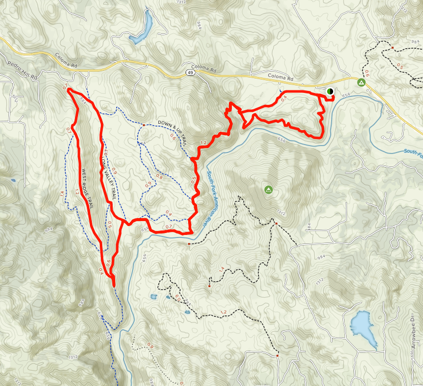
Mtn. Bike Trail Maps
Below are links to information and maps for many of the Auburn-area mountain biking trails.
- ExploreAuburnCA.com contains additional information for mountainbike riders.
- Since many of the area’s trails service several user groups, please review these safety and trail etiquette guidelines.
- CLICK HERE to visit the Endurance Capital’s page of supporting businesses and organizations.
H = Hike/Run, B = Bike, E = Equestrian
Cronan Ranch – H, B, E (many options)
Foresthill Divide – H, B, E (8.2 to10.2 mi.)
El Dorado Co. Trails – Interactive Maps
Georgetown Area – H, B (many options)
Hidden Falls Regional Park – H, B, E (many options)
Magnolia Ranch – H, B, E (many options)
Olmstead Loop – H, B, E (many options)
More Placer Co. Mtn. Bike Trails
Quarry Road – H, B, E (11.2 mi.)
Robie Pt. Fire Break – H, B (7.2 mi.)
Stagecoach – & nearby trails; H, B – (4+ mi.)
Steven’s Trail (Colfax) – H, B (6.4 mi.)