Equestrian Trails
See the locations below for your next Endurance Capital horseback riding adventure.
CLICK HERE for Auburn-area equestrian resources (organizations, businesses and more!)
So Many Trail Riding Choices!
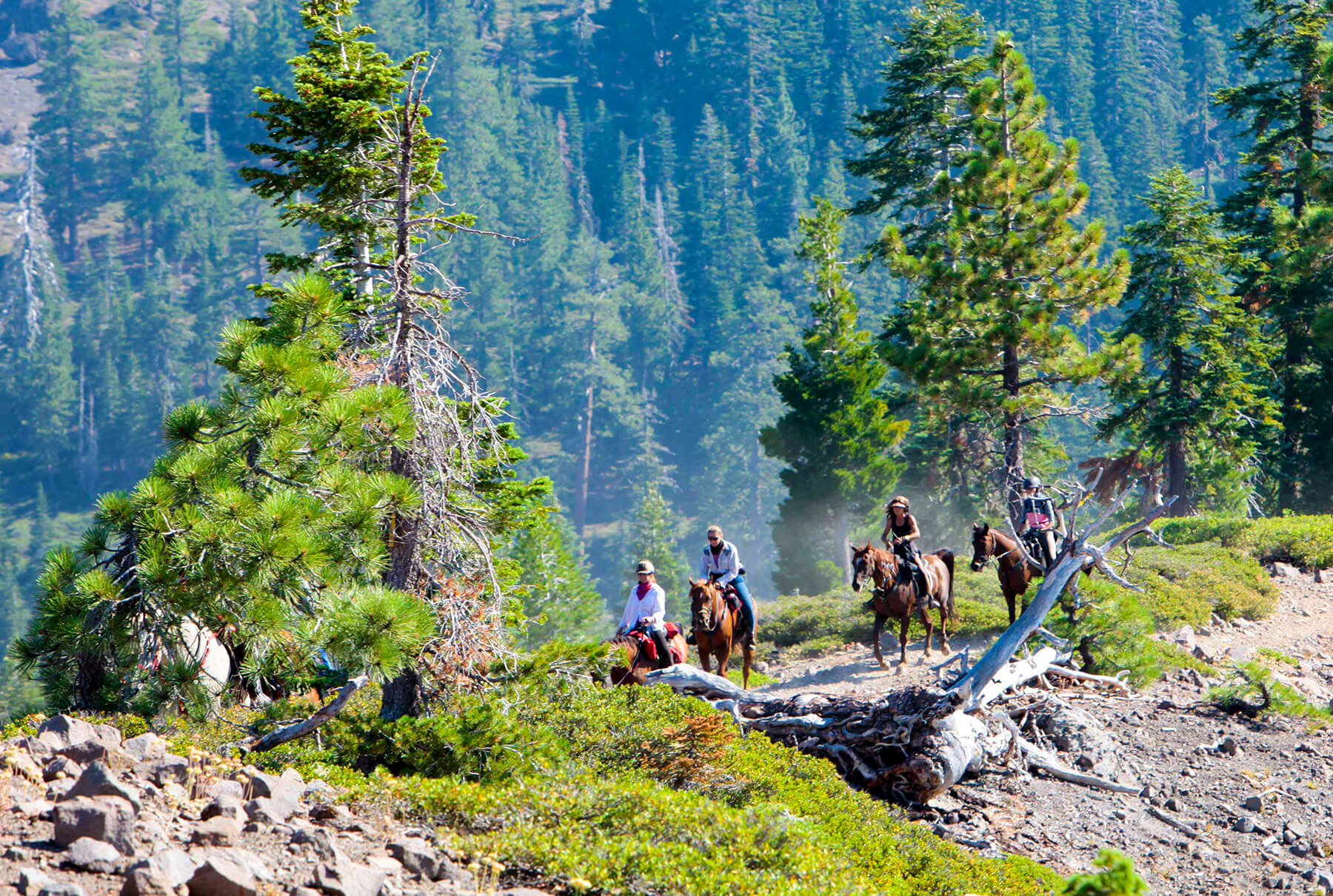
The Westernmost portion of the Western States Trail is the most familiar of Auburn’s equestrian trails since it both starts and finishes next to the American River Overlook Park adjacent to the City’s boundary. It covers the ground from the Overlook Park all the way to the Robie Equestrian Park just outside of Squaw Valley.
A popular portion of the Western States Trail is located within the boundaries of the Auburn State Recreation Area, the City of Auburn’s huge backyard “playground”. CLICK HERE for more information.
There are many other equestrian-friendly trails in the Auburn area. We hope to provide you with as many of these trail maps as we can, so check back for more. In the meantime, below are links to some of the more popular horse-friendly trails in our region.
More Maps
Below are links to information and maps of popular Auburn-area equestrian trails. In addition:
- ExploreAuburnCA.com contains additional information for equestrians.
- Since many of the area’s trails service several user groups, please review these safety and trail etiquette guidelines.
- CLICK HERE to visit the Endurance Capital’s page of supporting businesses and organizations.
H = Hike/Run, B = Bike, E = Equestrian, H2O = Water Sports
American Canyon – H, E (4.8 mi.)
Camp Far West Staging Area – H, B, E, H20
Cronan Ranch Staging Area – H, B, E, H20 (many options)
Hidden Falls Regional Park – H, B, E (many options)
Magnolia Staging Area – H, B, E, H2O (many options)
Olmstead Loop – H, B, E (8.6 mi.)
Pioneer Express Trail – H, E, H2O
Quarry Road – H, B, E (11.2 mi.)
Robie Pt. Fire Break – H, B, E (7.2 mi.)
Spenceville Wildlife & Recreation Area – H, B, E, H2O (many options)